“There is nothing radical in what we’re discussing,” journalist and climate change activist Bill McKibben said before a crowd of nearly 1,000 at the University of California Los Angeles last night. “The radicals work for the oil companies.”
Bill McKibben
Taken on its own, a statement like that would likely sound hyperbolic to most Americans—fodder for a sound bite on Fox News. Anyone who saw McKibben’s lecture in full, however, would know he was not exaggerating.
McKibben was in Los Angeles as part of his nationwide “Do the Math” tour. Based on a recent article of his in Rolling Stone, (“The one with Justin Bieber on the cover,” McKibben joked) the event is essentially a lecture circuit based on a single premise: climate change is simple math—and the numbers do not look good. If immediate action isn’t taken by global leaders: “It’s game-over for the planet.”
The math, McKibben explained, works like this. Global leaders recently came to an international agreement based on the scientific understanding that a global temperature raise of 2°C would have “catastrophic” consequences for the future of humanity. In order to raise global temperatures to this catastrophic threshold, the world would have to release 565 gigatons of carbon dioxide into the atmosphere. Here’s the problem: Fossil fuel companies currently have 2,795 gigatons of carbon dioxide in their fuel reserves—and their business model depends on that fuel being sold and burned. At current rates of consumption, the world will have blown through its 565-gigaton threshold in 16 years.
To prevent the end of the world as we know it, it will require no less than the death of the most profitable industry in the history of humankind.
“As of tonight,” McKibben said, “we’re going after the fossil fuel industry.”
Obviously no easy task. The oil industry commands annual profits of $137 billion and the political power to match. As McKibben noted, “Oil companies follow the laws because they get to write them.”
However, there are some numbers on McKibben’s side. Recent polling data shows 74 percent of Americans now believe in climate change, and 68 percent view it as dangerous. The problem environmental activists are facing is in converting those favorable polling numbers into grassroots action.
Enter “Do the Math.”
Using McKibben’s popularity as an author, organizers are turning what would otherwise be a lecture circuit into a political machine. Before rolling into town, Do the Math smartly organizes with local environmental groups. Prior to McKibben’s lecture, these groups are allowed to take the stage and talk about local initiatives that need fighting. Contact information is gathered to keep the audience updated on those efforts. Instead of simply listening to McKibben, as they perhaps intended, the audience has suddenly become part of their local environmental movement.
It’s a smart strategy, and an essential one—because the problem of climate change is almost exclusively a political in nature. Between renewable energy and more efficient engineering, the technology already exists to stave off catastrophic global warming. Though its application is lagging in the United States, it is being employed on a mass scale in other countries. In socially-stratified China, with its billion-plus population and tremendous wealth inequalities, 25 percent of the country still manages to use solar arrays to heat its water. Germany—Europe’s economic powerhouse—in less than a decade, has managed to get upwards of half of its energy from sustainable sources.
The same can happen here in America—provided we have the will to make it happen. McKibben says the key to realizing that goal is to battle the lifeblood of the fossil fuel industry—its bottom line.
To start, he’s calling for an immediate global divestment from fossil fuel companies. “We’re asking that people who believe in the problem of climate change to stop profiting from it. Just like with divestment movement in South Africa over apartheid, we need to eliminate the oil companies veneer of respectability.”
In conjunction with the divestment regimen, continued protests against unsustainable energy projects will also be crucial. McKibben will be in Washington, D.C. on November 18 to lead a mass rally against climate change and the Keystone Pipeline. “We can no longer just assume that President Obama is going to do everything he promised during his campaign. We need to push him.”
“I don’t know if we’re going to win. But I do know we’re going to fight.” More
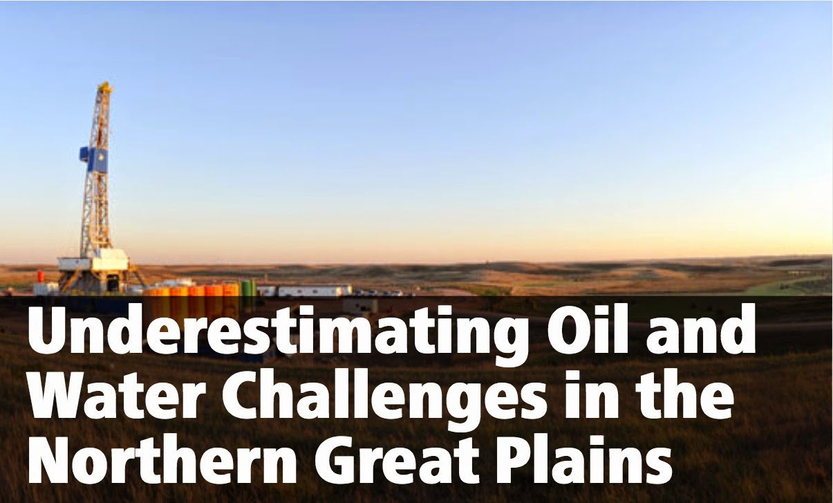
The Northern Great Plains has become the epicenter of new oil development in the United States. New production techniques have set off an oil boom there reminiscent of the chaotic conditions over a century ago when the prospect of black gold drew developers to Texas.
Water impacts were not remotely a consideration back then. But now, unprecedented levels of drilling in this huge oil basin require the implementation of careful water management practices to protect regional resources.
Drilling takes place throughout the Great Plains’ Williston oil basin, home to the Bakken, Three Forks, and Tyler formations, reaching into the U.S. states of North Dakota, South Dakota,1 and Montana as well as Canada’s provinces of Saskatchewan and Alberta. With an estimated 7.4 billion barrels of technically recoverable oil in the United States (plus an additional 1.6 billion barrels in Canada), the Williston basin is the largest continuous oil accumulation in the country.
It is also one of the world’s most rapidly and densely developed oil plays with about 8,000 still-active wells drilled between 2006 and 2014. The United States Geological Survey (USGS) estimates that five times that number will be needed to access the total technically recoverable oil. But plans to continue producing at this rate will pose severe oil-water risks in the area.
The region’s geology and history convey unique water challenges, quite different from those in other U.S. shale formations. The sheer number of wells needed to produce the Williston creates a huge demand on freshwater for drilling, hydraulic fracturing, and maintenance. Along with oil, produced water (wastewater produced as a byproduct during oil production) is brought to the surface through these wells. Produced water yields are correlated to oil yields, so as the Williston basin’s oil production increases, produced water quantities and the associated contamination risks and disposal needs will accumulate. Further complicating the freshwater quantity demands and wastewater contamination concerns, a mosaic of state, national, and tribal borders provides potential for irregular data reporting, insufficient regulatory oversight, inconsistent rules, and inadequate contamination cleanup.
If the Williston basin is going to help supply America’s oil needs over the long term, the Northern Great Plains’ oil-water challenges must be adequately controlled and safely managed.
Continuous, Complex Geology
The Williston’s shale is relatively easy to navigate. Overlapping formations allow oil companies to extract the oil with great speed and success.
The Bakken, while it has limited amounts of conventionally pooled oil, is almost completely an unconventional shale oil play. It is comprised of three informal layers: the upper, middle,and lower. Directly beneath the Bakken lies the Three Forks formation.2 Three Forks 1, the shallowest of the formation’s four main layers, has been produced in conjunction with the Bakken for many years. Recently, however, oil companies have begun to explore some of the deeper layers, allowing them to produce at multiple depths from the same plot of land, gaining access to more oil without acquiring more land. The Tyler formation, which is much shallower than the Bakken and Three Forks formations, is located farther south, and its unconventional oil potential is just beginning to be explored.
The Bakken formation was first identified in the early 1950s, though production was initially quite slow. That changed with the advent of hydraulic fracturing—the process of injecting a high-pressure slurry of chemicals, water, and propping agents to break apart shale and allow hydrocarbons to flow out of rock formations. Innovations in this technique transformed North Dakota’s oil operations.
Since 2006, oil production has expanded exponentially into the Bakken, Three Forks, and Tyler formations along with other smaller, lesser-known formations in the area (see map). Recently, drilling horizontally to produce oil in the Tyler formation has begun though it is still uncertain if the Tyler formation will be able to transition from a somewhat successful conventional play (accessed by vertical drilling) into a strong continuous play, produced by replicating new techniques used in the Bakken.
Companies aim to further reduce the space between wells to maximize access to oils at different depths from the same acreage. Leases that had only one well before may now have up to eight. As seen in Kodiak Oil & Gas Corp’s, Continental Resources Inc.’s, and other companies’ plans, there could be 14–34 wells per 1,280 acre lease.5 Wells are drilled and fracked more quickly and more cheaply as technology advances allowing companies to expand and increase their water demands rapidly.
The drilling process demands some water, but the hydraulic fracturing process and the water used to clean the well over its lifetime account for most of the water consumed during oil extraction. A single well fracking in the Williston averages 2 million gallons of water. Refracking wells two to three times, which is now common practice in the Williston, demands proportionately more freshwater than one-time fracking seen in other basins. And while some of the water used to clean wells can be reused as the base fluid for new fracking projects, new freshwater is required for each maintenance flush.
Getting to the Water Sources
With so much freshwater required to boost oil production, the question is: Where will the water come from? A range of resources can be found in the Northern Great Plains’ geology, including bedrock aquifers at many depths, glacial aquifers, the Missouri River winding through Montana and North Dakota, and Lake Sakakawea, a reservoir on the Missouri. These water resources vary markedly, and their characteristics must be used to determine how much water and which water the states can afford to permit oil companies to acquire, directly and indirectly.6
Making the situation more complicated, while the area may have ample water supplies, many rural citizens do not have secure access to them. The region currently struggles with fresh groundwater scarcity, low precipitation, minimal water infrastructure making transporting water extremely difficult, and federal restrictions regarding the use of the Missouri River and Lake Sakakawea as surface water sources.
Overdrawn Aquifers
Confined bedrock aquifers of varying water quality underlie the Williston basin, some of which are artesian aquifers that flow to the surface without the need for electrical pumps, a boon in remote locations that must be protected.
The slightly saline Fox Hills–Hell Creek aquifer (noted with diagonal orange lines on the map) is the only groundwater source capable of consistently producing large amounts of freshwater. As a result, it is overdrawn. Although rarely a drinking water source because of its relatively high concentration of total dissolved solids, (2,500 milligrams per liter), it is a major source for industrial, livestock, and residential use.7
Overuse has caused rapid long-term reduction in aquifer pressure by 1 to 2 feet per year. As a result, some of the artesian wells drawing from the Fox Hills–Hell Creek aquifer have stopped flowing and more will dry up in the future. Using this aquifer solely for domestic and livestock purposes and forcing industry to find other sources of water has been discussed, but stronger action may be needed.
Difficult-to-Manage Aquifers
Glacial aquifers, formed as glaciers melted and receded leaving permeable sediment behind, can be found in drainage system patterns throughout North Dakota and Montana. These aquifers, usually less than a few hundred feet deep, can be much more productive than bedrock aquifers, often with lower total dissolved solids concentrations. Their high flow rates mean water spends shorter times within the aquifer dissolving and accumulating salts and minerals. Thus, these aquifers often tend to be the only source of irrigation-quality groundwater in the area. High flow rates, however, lead to difficulty managing the resource, as discharge can happen quickly while recharge rates are variable and uncertain.
Tapping Lakes and Rivers
The most reliable sources of surface water in the area are the Missouri River and its reservoir, Lake Sakakawea. Much of the water currently used for hydraulic fracturing in North Dakota and Montana comes from the Missouri River.
Without depending on water withdrawal from lakes and rivers, it will be impossible to meet the upward trend of oil production without harming the Northern Great Plains’ aquifers and tributary streams. So, as industry demands rise, oil companies are pushing back on the U.S. Corps of Engineers’ (USCOE) 2010 moratorium that prevents lake-water access permits. North Dakota law makes the state water commission responsible for issuing permits for Lake Sakakawea water use, but the USCOE is the only power that can grant permission to access the lake for water diversion. The moratorium was put in place temporarily while the USCOE determined what price to charge for Missouri River water stored behind its dam. Over time, however, the moratorium has morphed into a 100,000 acre foot per year temporary permitting limit, with no storage fee applicable until the USCOE approves a water price.
The oil industry would benefit from permanent access to Lake Sakakawea at little or no cost, but such an arrangement would not be durable. The millions of gallons each well uses over its lifetime would necessitate many new infrastructure investments to transport Lake Sakakawea’s water throughout the basin. These oil-water commitments would also impact local residents’ future higher-priority needs.
Oil companies in eastern Montana do not currently have access to Lake Sakakawea, instead depending on the Missouri River as a surface water resource, even though many of its tributaries are over-appropriated. The Yellowstone River, which cuts through parts of the Williston basin, is also a potential water source for the oil industry; however, some stretches are closed off to new appropriations, and temporal variation in flow causes the river to be over-appropriated at times. While finding cheap and accessible water may be difficult in Montana, the oil industry’s surface water (and groundwater) needs there pale in comparison to the struggles facing North Dakota, where the majority of drilling occurs.
The Salt Problem
All this is particularly problematic because the Northern Great Plains contains large volumes of highly saline water. This water—up to ten times the salinity of ocean water—is housed in the same rocks that trap oil in the Williston basin. When pumped out with the oil, this produced water must be treated as waste.
Once production begins, a well operator begins pumping out the fluid used to frack the well along with highly saline produced water and oil. This continues through the well’s lifetime—with volumes of these three fluids changing dramatically over the lifetime of the well, the amount of fracking fluid recovered at the surface dropping off dramatically in the days following fracking, and the ratio of produced water to oil increasing as the well ages. Produced water from the Bakken formation also contains toxic metals and radioactive substances and can measure up to 300,000 milligrams per liter of total dissolved solids.
Most of the produced water in the Williston is transported to Class II injection wells (see blue dots on map) for disposal. Injecting this water deep underground can prevent ground and surface water contamination, if done properly. Proper disposal is important because spills and contamination in the Williston basin are far more damaging than mishandlings of less saline produced waters from other U.S. basins.
One possibility for contamination in the Northern Great Plains arises during produced water transport—by truck and underground pipeline—to its injection site. With trucks and pipelines covering long distances between the producing well and the Class II injection well, the potential to spill oil and produced water arises. Truck spills may be obvious, but pipeline spills may go unnoticed as any evidence remains underground for some time.
Contamination of water resources can also be caused by spilling oil or produced water through operator error, illegal dumping, well blowouts, and flooding (sometimes caused by ice jams or heavy rains). Produced water spills are a far greater concern than oil spills because they spread much more rapidly and salts disperse quickly through surface or ground water. Spills’ boundaries are rarely well defined and oil and produced water can saturate any permeable soil near the spill, including by migrating beyond state or reservation borders.
Glacial aquifers in particular, with their fast recharge rates, can be quickly contaminated by surface spills, especially from produced water. Successful management of glacial aquifers is vital to protect one of the Williston’s only sources of high quality groundwater.
The Williston basin region has experienced sizeable spills since the oil industry boomed in the mid-2000s. North Dakota’s largest and most damaging saltwater spill occurred in 2006 when a Zenergy pipeline failed, releasing more than 1 million gallons of saltwater into Charbonneau Creek (a Yellowstone River tributary). The pipeline didn’t have a monitoring system to record the pressure drop or the differential between input and output quantity that would have quickly notified the company of the leak. Eight years later, Zenergy is still remediating, and efforts are expected to continue into the future.8
Problems also stem from practices long past. The Northern Great Plains is just now seeing the effects of contamination from oil production that began over fifty years ago. According to a USGS report, the city of Poplar in the Fort Peck Reservation has never been able to pinpoint the precise source(s) of contamination on its territory (beyond linking it to oil field contamination) that has damaged upwards of 37 billion gallons of water in its shallow aquifers. Three thousand residents depend on these aquifers as their sole sources of water. The EPA reached an agreementwith the three oil companies they deemed responsible, and these companies must now monitor Poplar’s public water supply monthly, provide treatment or an alternate water source for any degraded water quality, and cover the city’s $320,000 cost to identify safer water sources and relocate public water infrastructure. It has taken a half-century since initial contamination for stakeholders to experience its consequences because of the slow speed at which contamination travels in the subsurface. This contamination acts as a warning that the negative effects of oil production may take many years to come to light.
Beyond contamination, the high concentrations of salt in Williston produced water routinely builds up on equipment, damaging it and restricting oil flow. To prevent this salt buildup, oil companies use maintenance water—freshwater treated with biocides—to flush wells. Over a well’s thirty-year lifetime, almost 9 million gallonsof additional water may be used to remove the oil-restricting salt buildup.
Oil-production-related water contamination plagues all oil fields but, because of the Williston basin’s high salt content, water spills in eastern Montana and western North Dakota are especially dangerous to the environment and the people dependent on local water for their drinking, domestic, irrigation, and livestock water needs. Comprehensive regulations could help mitigate the risks, but protecting water resources in this area will be an ongoing challenge in the Williston basin.
Reporting Issues and Regulatory Confusion
Data on oil production in the Williston basin are extensive, but underreporting is a growing concern. Some counties do not report any produced water despite highly productive oil wells, and it remains unclear as to whether the Fort Peck Reservation reports its produced water. There are also loopholes in reporting spills and contamination events. Accuracy varies depending on the regulator and extent of regulatory oversight.9
A new online tool helps navigate oilfield-related spills in North Dakota, of which, until now, the public was rarely informed. But companies can report “no” water spilled when the actual amount discharged is unknown. Wells can be listed as confidentialfor up to six months after drilling begins, reporting no spill information to the public except in rare cases. Montana does not even maintain an electronic database, and the state government records spill information only on paper, making spill and contamination research more difficult. This means that rural residents do not have easy access to the history of contamination and the presence of spills in the area in which they live.